There can come a point on a hill walk where you will become uncertain about whether you have chosen the correct turn. That uncertainty which can begin as niggling doubt can become your dominant thought. It’s not the thought of dying alone in the woods, or breaking an ankle and having to crawl back to civilisation that causes most doubt; no, it is the fear that every step you take will have to be taken again when you need to retrace your steps. So you can end up fixated on the decision to either turn back or move forward. In recent times it has become progressively easier to find out exactly where you are using GPS which most of us have on our phones. In fact, bring up Google Maps in any major city or country village and you can be assured you will find your destination quick-smart. There is, however, a difference between knowing where you are and knowing how to get to the nearest road or how to navigate woodlands or bogs to (safely) find your way back to your car.
So, despite the possible peril, I decided that we needed to try hillwalking as a family. After a recent trip to Kerry, my previous grá for hillwalking, orienteering and climbing came back to me and now that I have a family it’s only right that I should try and foist my youthful interests on them. After a bit of online research I found that the Slieve Bloom mountains were within an hour of our house and have waymarked, looped walks which would be a good fit for a family outing. My inner killjoy however wasn’t happy with the idea of bringing the whole family on a two-hour roundtrip before testing the waters first. So it came to pass that on a hot August morning I headed off with a backpack and a headful of dreams to try and tackle one of the Slieve Bloom walks.
The walk that appealed to me was the Glenbarrow Eco Walk, as with the majority of the walks on the slievebloom.ie website the route is well described and if you read the notes on the walk there is historical and geographic context provided for all of the main features along the way. The initial section of the walk began at the Glenbarrow car park and followed some well laid out pathways through the woods to emerge at the riverbed and waterfall. As I changed into my hiking boots in the car park I noticed a couple more cars and a group of four foreign hikers getting ready to set off. Something about the group struck me as odd and at first, I couldn’t quite put my finger on it. So I glanced over again and noted that they were wearing full backpacks with roll-on mattresses. ‘Aha!’ I thought, ‘they are most likely going to hit one of the designated camping areas in the area’; Coillte have two designated camping areas in the Slieve Bloom mountains for hikers and wild campers to use. But that didn’t seem to be it. Sure, the equipment level was a tad unusual and therefore somewhat conspicuous but there was something more than that. I stole a second glance and noticed what my subconscious had been telling me earlier – at least one was carrying a deck chair. These guys were either serious pros or just going on a session by the river. As they set off ahead of me I noticed them veer off the track after only 200 metres or so and walk in a direction that would actually take them out of the forest. I concluded that an afternoon of relaxing by the river was most likely their intent; as long as people bring their rubbish home it’s as good a way as any to enjoy the local amenities.
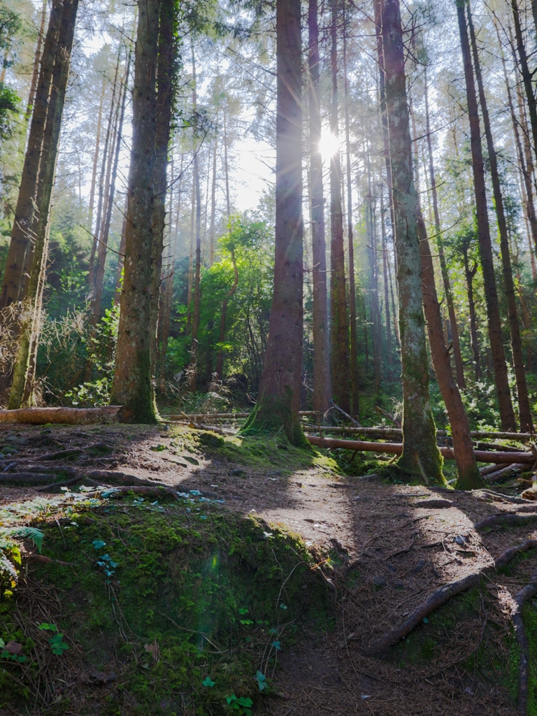
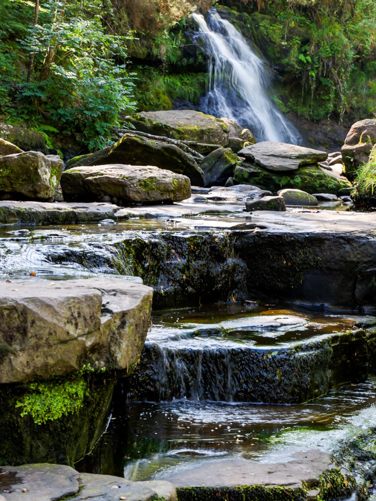
Had I gone no further than the waterfall I would have enjoyed a picturesque, albeit brief, walk. The waterfall is about twenty minutes into the three-hour walk and provides one of the major focal points for the waymarked hike and from my anecdotal experience comparatively few venture past it. It provides enough visual appeal and tranquillity to check the box, and there’s nothing wrong with that but I did drive over an hour to get here so completing the loop was on my to-do list so after a brief stop to snap a few pictures I continued along the trail.
After passing the waterfall the pathway became a little less manicured and a little less travelled. The path was still well defined and it had steps fashioned into the earth to prevent a nasty fall but the lesser degree of travel made it feel more remote. Aided by the excellent guide (noted above), well placed orange arrows to confirm your direction of travel and the aforementioned paths there was very little feeling of being lost or having to backtrack. So far so good as a possible family hike.
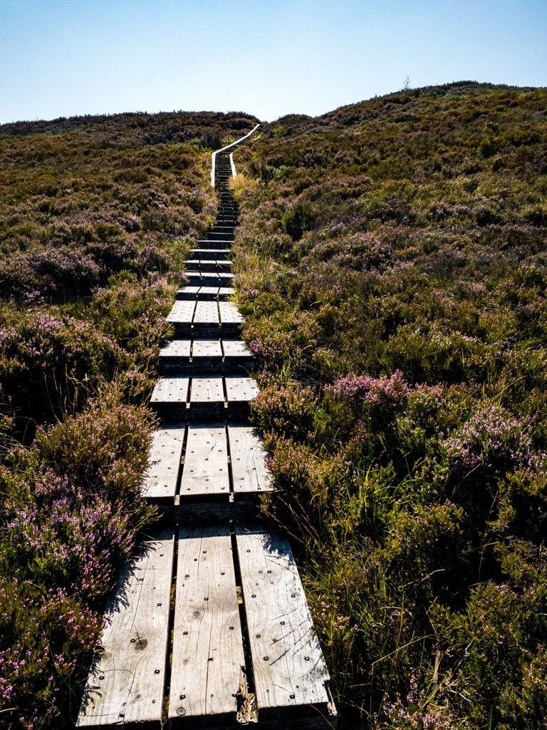
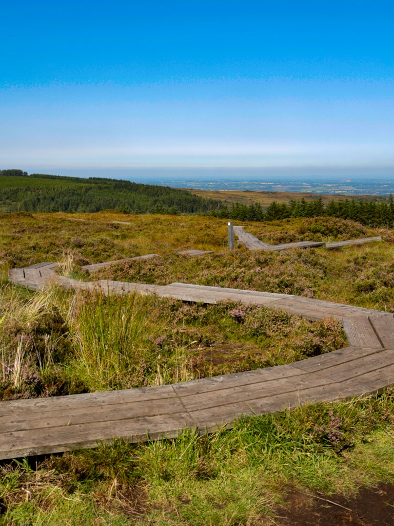
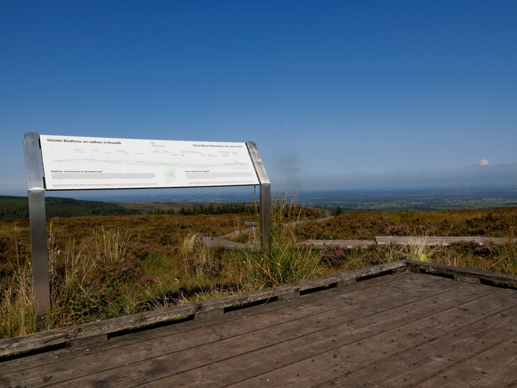
The mid-point of the hike brought me to the Cappard woods car park; it’s just a car park so nothing to get excited about but as I progressed through and found the boardwalk, the real attention to detail started to show through. The walk took in a brief stop at the viewing platform which sits on the summit of the Ridge of Cappard. To get to the viewing platform I had to walk along a boardwalk which served to keep me and the bog firmly apart from one another. This is doubly useful as it protects the natural environment but also saved me from having to look out for deep pockets of water in the bog. The elevated boardwalks also called ‘bog bridges’ are a major feature of the walks in this area and I have to say are a major selling point for me. Getting stuck in a bog or having to navigate your way through one can mean that many hikers avoid them altogether but the bridges allow for exploration of boggy areas of the countryside without the hazard or environmental damage.
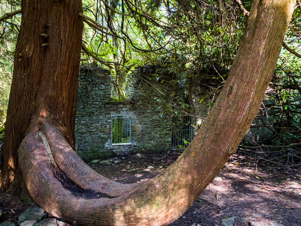
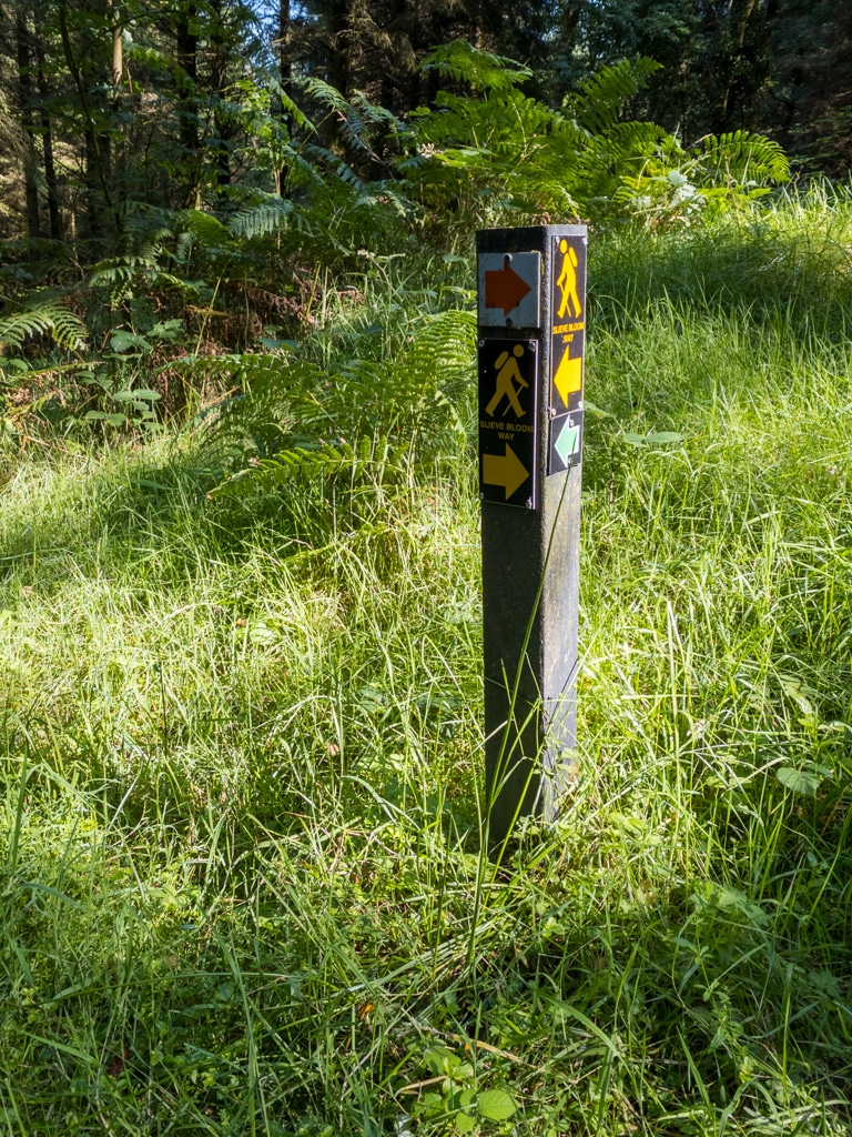
After following the bridge out of the bog and onto a lesser worn track I began to experience my first feelings of doubt. The previously well-trodden pathways gave way to more overgrown tracks and as I progressed along the track I began to question my sense of direction. My previous experience with orienteering would have told me that I only needed to consult my map and compass to make sure my heading was correct but I didn’t bring a compass, or an ordnance survey map. I did however have the route guide printed off and the overview map and directions proved to be both succinct and reassuring enough for me to press on and eventually find the tarmac road exactly where it should be. But the doubts didn’t end there. The next set of doubts started to creep in when I found myself on a heavily overgrown track and noticed a stile in the fence alongside the track. No waymarks were directing me out of the stile so I continued along the track negotiating brambles, nettles and thistles as I went all the while looking over the fence to my left at what appeared to be a much easier route. I knew I was heading in the right direction but couldn’t be certain I was going about it correctly. After fifteen minutes or so the rough trail gave way to better trails and the track to my left seemed to reach a dead-end so I think I made the right choice. Overall the well-described routes, the printable reference map and the waymarking provided me with enough confidence to press on confident that I would not end up having to rely on my phone; either as a mapping tool or to call emergency services.
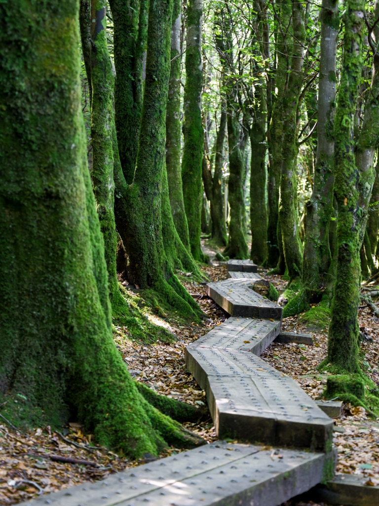
After my brief period of moderate hesitation, I was firmly back on the beaten track as the walk re-emerged onto forestry roads and from there onto another bog bridge. This bog bridge marked the final stage of the hike and, whether by accident or design, proved to be quite relaxing. It was probably a combination of knowing that the last stage of the walk was going to be hassle-free and the solitude that comes from being alone in the woods. Before I knew it I was back at the car park where the walk had started. After changing out of my hiking boots and finishing off my water I was ready to hit the road.
Hiking as a Family
From my initial recce, I thought that the waymarked trails would provide plenty of interest for children. Knowing the trails in advance we could avoid getting stuck and having to turn back. We started with a variation on the Glenbarrow Eco Walk. A navigation error (I set the sat nav wrong) brought us to the Ridge of Capard car park but having been there before I thought it best to start from Capard and work our way down to the Glenbarrow car park and then double back. This was actually more difficult than leaving from Glenbarrow as initially planned as the Eco Walk is only signposted in one direction. Luckily enough I had a compass and map to help with the reverse navigation and we were able to use the river as a catching and navigation feature. Not that we were at risk of getting completely lost but when you have a baby in tow timing is everything and going on too long of an outing is likely to result in a very upset child.
When we arrived at Capard we settled Juliette (our one-year-old baby) into the backpack harness and hit the trail almost straight away. The first leg of our trip brought us to the Glenbarrow car park. We used a combination of forest trails and forestry roads. The forestry road is a bit boring but can be used to save time in a pinch. Glenbarrow car park is arguably a better trailhead as it has a coffee shop and picnic area which would make for a more pleasant lunch break post-walk. Nonetheless, we continued our loop and stopped at the waterfall for a while with the kids. On our next trip, we will aim to spend more downtime around the valley floor area as the kids had a blast exploring the very shallow river bed; we visited at the beginning of September so it might not be as shallow in late autumn or winter.
For what worked out to be roughly 8km of a walk the kids did not seem to notice the distance. Unfortunately, the end of the walk required us to hike back up the hill to Capard and at this point they began to feel the fatigue. At one point I ended having to carry both our second youngest and youngest up the hill. Thankfully Juliette was in a harness so that made the weight easier to distribute. We got there in the end and the lesson learnt was that we need to keep an eye on times more than distance. An out and back route finishing with a downhill stretch would be the best approach as it would allow us to better estimate the time we would be able to get Juliette back to the car for a nap or mealtimes. We also might try and avoid the ridge above the river in wet weather as it is unguarded so it meant a high degree of anxiety was almost guaranteed as we shepherded the kids along the narrow path.
The kids really enjoyed the forest, river and more adventurous aspects of the hike and are looking to go back again. Next time we will hopefully improve the timing to keep a better routine with Juliette but aside from the usual concerns about meal and sleep timing, there’s nothing major for us to worry about. The benefit of having an initial exploratory run was obvious when we had to change plans at the last minute and it also meant we did not get stuck two hours from the car with a group of cranky children. Overall a worthwhile trip and something we could recommend for people with young children – if you enjoy walking that is.